 Antigua Guatemala City Guide
Hiking Near Antigua: Which Volcanoes Are Open
Hiking near Antigua has a hard truth attached this year: the two summit climbs that made the region famous, Acatenango and Fuego, are suspended while Fuego erupts, with park gates closed and no official reopening published. One half-day volcano, Pacaya, remains open and bookable. The big cone that frames every photo of town, Volcán de Agua, has no official status published at all, and this page says so instead of repeating forum folklore.
Quick answer Which volcano is open, which are closed, what to book instead
Right now, hiking near Antigua means Pacaya (2,552 m), open, guided and departing daily, though the volcano itself is active and degassing at its crater. Acatenango and Fuego, the two summit hikes, are suspended since the Fuego eruption began: park gates closed, ascent prohibited, no official reopening found. Volcán de Agua, the cone over the town, has no official status published at all.
Key takeaways
- The open hike is Pacaya, a half-day, easy to moderate, with an honest all-in of about $90.50 on the Voyageur card because the park entry fee rides in the extras: Hike to Pacaya Volcano.
- Acatenango's park gates have been closed and the ascent prohibited since the Fuego eruption intensified, and operators still sell it online with no closure notice, do not book. What to do instead of risky bookings is on the safety page.
- Access follows CONRED's alert levels, not a calendar. The snapshot sits in the status table below. Re-check it the week you travel.
The status of each volcano
Every volcano a hiker asks about from Antigua, with the status as it stood at the national disaster agency's last bulletins and the operators' own listings. This table is the page: re-check it the week you travel, because access follows alert levels, not a calendar.
| Volcano | Status for hikers | What it means for a booking | Basis |
|---|---|---|---|
| Pacaya (2,552 m) | Open, tours sell and depart. The volcano is active but degassing only | Bookable. The honest all-in is about $90.50 on the Voyageur card ($35 listed + $55.50 mandatory extras that include the park entry fee) | Operator listings with live departures; CONRED Boletín 280-2026 reports degassing at the Mackenney crater. The prohibition communiqué named only Fuego and Acatenango |
| Acatenango (3,976 m) | Suspended, park gates closed | Do not book. Two operators still sell it online with no closure notice. This site will not sell it until officials lift the restriction | Closure dated by news reports: park authorities closed the gates, INGUAT ordered total access restriction, CONRED and MARN reiterated the absolute prohibition of ascent |
| Fuego (3,763 m*) | Closed, erupting | No ascent. The Alotenango road entrance was preventively closed | CONRED declared a national orange alert as the eruption intensified. Its September bulletins still count 5-8 explosions per hour with ash to 4,800 m. No reopening statement found |
| Volcán de Agua (3,766 m*) | Not stated, no official status found | No official how-to advice exists on this site. No CONRED bulletin, no park statement, and the tourism institute's site could not be reached | Searches of the disaster agency, the tourism institute and the UK foreign-advice page returned nothing on Agua access |
Altitudes marked * come from operator and briefing material, the national meteorology institute's site was unreachable to confirm them. The suspension and prohibition texts come from the national disaster agency's communications and news dating. Sources on the Pacaya page.
Pacaya: the one you can book
The half-day volcano is open, and it is where every closed-summit plan lands instead. Facts and booking options from the operators' own listings.
Pacaya is open because the closure order never named it. The prohibition communiqué that shut the Acatenango gates covered Fuego and Acatenango only, and while CONRED's bulletins record the volcano in steady degassing at the Mackenney crater, it is active, monitored continuously, its tours have kept selling and departing. That is the whole status case: an active volcano in its resting behaviour, not a closed one.
The walk itself is the gentlest volcano day in the country. Operators allow 6-7 hours door to door from Antigua, of which the trail is 1-2 hours up through farmland and cloud forest, about 1.5 hours in the black lava fields with their steaming vents, and 30 minutes to an hour back down. Visitors cannot approach the crater.
The route stays on the flows below it. The Voyageur card takes children from age 4. Packing, the gate-fee story and the full cost table live on the Pacaya volcano page.
| Option | Listed price | What the price really is | Cancel |
|---|---|---|---|
| Hike to Pacaya Volcano, Voyageur Tours | $35 | Listed $35 + $55.50 mandatory extras = $90.50 all-in. The extras cover the park entry fee and local fees | Free up to 24 hours before |
| Pacaya Tour in English/Spanish, Volcano Expeditions | $23 | Shuttle and bilingual guide included. The gate fee is settled at the park, amount not published | Free up to 24 hours before |
| Pacaya Hike half-day, Due South Travels | $20 | Lowest listed price. Live guide in Spanish. The gate fee is paid in cash at the park | Full refund at least 24 hours before |
| Pacaya ATV Adventure, Simon S.A. | $125 | Wheels instead of walking. Hotel pickup and drop-off | Free up to 24 hours before |
The decision is about where you would rather meet the cost. The Voyageur card is the only listing that prices the whole day up front, $90.50 all-in, which is why it is the default here. The $20-$23 rows win if you are comfortable paying the gate fee in cash in quetzales at the park, and the ATV is for knees that prefer engines to switchbacks.
If you are building a week rather than a single morning, the day-trip shortlist sequences Pacaya against the lake and the coast.
What you actually see on the open volcano
Pacaya is a live volcano, and the tour walks you through the evidence of it, with one honest limit spelled out by the operator itself.
The operator listing says it plainly: no flowing lava is guaranteed. What a Pacaya morning delivers instead is contact with a volcano in its resting behaviour. CONRED's bulletin records steady degassing at the Mackenney crater, with steam drifting off the summit area.
The trail crosses black solidified lava fields laid down by earlier eruptions. And the vents push real heat out of the ground, hot enough that the tour's signature photo is a marshmallow toasting over a crack in the rock. On some departures guides help visitors bake pizza on the hot stones, an add-on run by an independent vendor at the park, not part of any tour package.
The crater itself is off limits, and that boundary is what keeps the exposure low. Fuego, visible smoking on the horizon on clear mornings, is the volcano doing the erupting, which is exactly why it and its neighbour are the closed ones. If a lava show is the reason you booked a volcano trip, set the expectation now: the open volcano trades spectacle for access, and it is the only one offering access at all.
The full expectation-setting, with sources, is on Pacaya volcano. The wider day-out menu is on day trips from Antigua.
If you had booked the closed trip
The suspension landed on itineraries, not just trailheads. What the cancellation windows and the official warnings mean for money already spoken for.
Start with the mechanics. Every volcano card on this site carries a free-cancellation window, 24 hours before departure on the Pacaya tours, because the operators set that policy. While the summit trek was bookable, the same window applied to most listings.
If your Acatenango booking predates the closure, the case for a refund is not a favour: the park gates are shut by order, the tourism institute suspended the routes, and sanctions were announced for operators running trips regardless. Put the request in writing, cite the closure, and keep the payment trail. Then the re-plan.
The classic Acatenango week is two days, up to base camp, overnight at around 3,400 m, summit at dawn. Nothing else on this page needs two days, so the honest substitution is the Pacaya half-day plus a second day out entirely: the lake, the coast, or the ridge walks above town. Travellers who had fixed their heart on sleeping above the clouds should simply wait for the official lift rather than booking a replacement that is not the same thing.
One caution from the closure communiqué deserves its own line: authorities announced sanctions for clandestine operators who kept running summit trips. A cheap offer to "skip the queues" on a closed mountain is not a bargain, it is the exact scenario the sanction announcement was written for, and the wider scam pattern around it is on safety and scams.
Packing for the open trail
One list covers Pacaya and the ridge walks, built from the operator briefings and the thirty-year climate record for the valley.
Feet first: grippy shoes with toe protection, because Pacaya's lava rock is jagged and punishes soft soles. Trousers over shorts for the same reason. Layers second: a light jacket for the top, where it is cooler and breezier than the trailhead, plus a hat and sunscreen, there is no shade on the flows and the sun is strong at 2,552 m.
Then the season. November to April, the dry season, is warm days and cool mornings, the jacket earns its space twice. May to October is the rainy season, with a pattern of clear mornings and hard afternoons: waterproof boots, a poncho, and a dry bag for the phone.
September is the wettest month of the year at about 311 mm, so a morning departure is not a preference then, it is the plan. The month-by-month numbers are on best time to visit, and what a day up here costs in cash terms is on the costs page. Cash closes the list: quetzales in small notes for the Pacaya gate fee and the optional extras at the park, horse rental runs around Q200-Q300 and a wooden walking stick about Q10, both settled directly with the community providers, not through the tour.
Water and a snack finish it. The guides stop at a vantage point to eat, and there is nothing to buy on the mountain.
Acatenango and Fuego: suspended, and what that means for a booking
The two-summit trek that made this region famous is closed. What actually happened, what it means for money you may already have paid, and how to think about a reopening.
Here is the sequence, all of it dated from official communications and news reporting. Fuego entered an intensified eruptive phase in early August and CONRED declared a national orange alert. The response closed the summit zone: park authorities shut the Acatenango gates, the tourism institute ordered total access restriction on the volcano and suspended the trekking routes around it, and the disaster and environment agencies reiterated an absolute prohibition on ascending Fuego and Acatenango, with sanctions announced for operators running trips anyway.
The Alotenango road entrance into the Fuego barranca was preventively closed the same week. Five weeks later the volcano was still going. CONRED's September bulletins counted 5-8 explosions per hour, ash to 4,800 metres, and warned people off the meseta viewpoint because of possible ballistic material.
No statement lifting the prohibition has been published since. The alert ladder below is CONRED's own wording, it is the machinery that decides when any of these trails open or close.
| CONRED alert level | The official wording | What it means on the trail |
|---|---|---|
| Alerta verde (vigilancia) | "Normal activities continue" | Hike on, with standard precautions |
| Alerta amarilla (prevención) | People "must be prepared to act" and follow authorities' instructions | Expect access rules and short-notice closures |
| Alerta anaranjada (peligro) | Everyone must "stay alert… be ready to evacuate to safe places if necessary" | Trails typically close or become access-controlled, Fuego has sat here since the eruption began |
| Alerta roja (emergencia) | "It is time to evacuate" to established shelters | No hiking at all |
Now the booking reality. Two established operators still sell Acatenango overnights on their own sites with no closure notice, one at $119 per person, another at $148-$253 depending on group size. This site treats those pages as stale, not as an all-clear: the officials who own the gates have published no lift.
If you already booked, chase the operator in writing for a refund or a date change rather than arguing it at the trailhead. When the summits reopen, this page will say so with the official source attached, no reopening date is predicted here, because no official source has set one. While the high camps are dark, the close-up volcano experience that is actually bookable is Pacaya, and the rest of a week off the trails is on the things to do hub.
The volcano with no official answer
Volcán de Agua frames every photo of Antigua, and it is the one volcano this page refuses to give hiking advice about, because no official source speaks about it.
The checks behind this page covered the national disaster agency (no Agua bulletins found), the tourism institute (its site blocked automated access), the UK foreign-advice page (no volcano-specific wording) and the meteorology institute (unreachable all day). The result is a clean negative: no official status, no published trail rules, no gate fee, no guide requirement, nothing stated. Even the summit altitude in circulation comes from operator and briefing material that could not be confirmed against the national sources.
Community posts about robbery risk on the Agua trail circulate in traveller forums. They may be true. They are not citable under this site's source rules, and a safety claim that cannot be traced is exactly the kind of folklore that gets people either falsely worried or falsely confident.
So the honest answer to "can you hike Volcán de Agua from Antigua?" is: not stated, no official source publishes an answer, and this guide does not fill the silence with forum folklore. If you attempt anything official advice does not cover, the general cautions on the safety page apply, and the practical layer of the trip is on the Antigua Guatemala city guide homepage. What would an official answer even look like?
Three shapes of it: a bulletin from the disaster agency naming Agua's alert level, an access notice from the parks or municipal authority that controls the trailhead, or the foreign-advice pages adding volcano-specific wording. None of the three existed at the checks behind this page. That is also the tell for nonsense on the ground: a price quoted for a "mandatory guide" at a bus stop, a "park permit" sold with no office behind it, an access system with no published rules cannot produce a legitimate fee, so treat any such pitch as exactly what it sounds like.
The honest move is the one this page takes: wait for a source, and spend the volcano morning on the trail that has one.
Hikes that need no volcano status
Two walks near town run on their own logic, hill and ridge walks, not summit hikes, and no CONRED alert level is about them.
Cerro de la Cruz is the viewpoint hill at the northern edge of the colonial grid, the walk that delivers the postcard of the town with the volcanoes ranked behind it. It is the acclimatisation walk: short, steep in places, done before breakfast by half the backpacker hostels. Details and the honest cautions are on its own page. Hobbitenango sits higher, on the ridge above the valley about twenty minutes by car, an eco park of hobbit-shaped lookouts, swings and volcano views that pairs well with an easy afternoon.
Neither walk is a summit hike, which is the point: they are what your legs do on the days around the Pacaya morning, and they run whether the alert ladder is green or not. Antigua itself sits at about 1,530 m, which is why these little climbs feel bigger than their elevation profiles: the sun is strong, the afternoons rain hard in the wet months, and every walk on this page starts at the door of a town built for strolling. The wider menu is on things to do.
Timing both walks is the same trick: go early. Antigua's afternoons in the wet months fill with cloud and then rain, the ridge views are a morning product, and the hill walk doubles as a sunset spot in the dry season when the sky is actually delivering one. Neither needs a guide, either is a half-day at most, and both leave time for the second half of the day: the market, the churches, or the coffee farms on the town's edges, all indexed on things to do.
Check the status yourself
Access changes with alert levels, not with guidebooks. Before you book anything on this page, spend five minutes on the sources below, they are the same ones this page was built from.
Status is a moving target, so make the check a habit rather than a formality: the evening before a booked trip, and again the morning of. The national disaster agency publishes eruption bulletins and explains its four-level alert system on its own site, which was live at every check behind this page. The meteorology institute issues the underlying volcanic bulletins, but its site was unreachable during the checks, a reminder that a quiet website is not a quiet volcano.
The UK foreign-advice page carries the government travel view and points readers at the disaster agency before volcano hikes. Two links worth having open on a volcano morning: the trip planner on plan and the month-by-month case on best time to visit.
| Source | What it tells you | Reachability at the checks |
|---|---|---|
| conred.gob.gt | Eruption bulletins and the four alert levels | Live |
| insivumeh.gob.gt | Official meteorological and volcanic bulletins | Unreachable, timeouts during the checks |
| inguat.gob.gt | Tourism institute access notices | Blocked to automated checks (HTTP 403) |
| gov.uk/foreign-travel-advice/guatemala | Government travel advice, volcano-climbing wording | Live, no specific volcano-climbing advice |
On the ground, the tourist-assistance line ASISTUR answers at 1500 around the clock, in English and Spanish. Emergencies go to Police at 110 or Fire and Ambulance at 122 or 123. The US advisory for Guatemala sits at Level 3, Reconsider Travel, a country-wide framing, and Sacatepéquez, Antigua's own department, is not named in any restricted zone.
What that means in practice, and the scams that target exactly the volcano-tour buyer, are on safety and scams.
Bookable volcano tours from Antigua
Only Pacaya is bookable while the suspension holds. Every card links to the operator's own listing. Prices in USD as listed.
 from $35
Hike to Pacaya Volcano from Antigua
Voyageur's Pacaya hike: $35 listed, $55.50 of mandatory extras on top (park fee and transport) - about $90.50 all in. Read the price story before you book.
Check Availability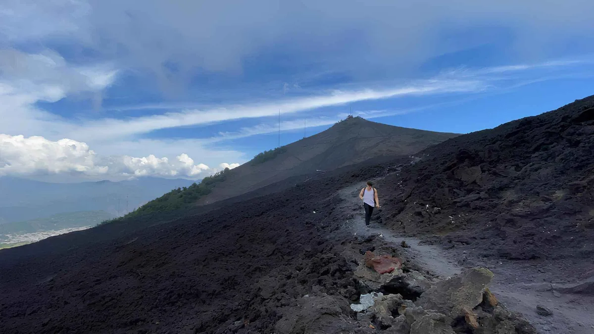 from $23
From Antigua: Pacaya Volcano Tour in English/Spanish
Half-day guided Pacaya hike with hotel pickup and marshmallows over the steam vents; the classic introduction to an active volcano, run in English or Spanish.
Check Availability from $20
Pacaya Volcano Hike (half-day)
The budget half-day Pacaya hike with a shared group; listed at $20 with the park fee collected on the trail.
Check Availability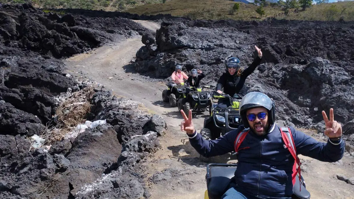 from $125
Antigua: Pacaya Volcano ATV Adventure
The ATV route to Pacaya: ride the lower slopes instead of walking the full climb, then the same lava field on foot. Small group.
Check AvailabilityPrices, ratings and details are the platform's own. dollar figures are the listed prices — the platform bills in your account's currency.
The volcanoes around Antigua, mapped
Four cones and the city they ring. Green is hikeable today. Carmine is closed. The cone with no official answer is marked in grey. Pins, reading north to south: Antigua at 14.5586, -90.7295; Acatenango and Fuego together at 14.5016, -90.7417; Volcán de Agua at 14.4646, -90.7428; and Pacaya at 14.3829, -90.6014.
Where to go from here
The pages that carry the next decision.
Pacaya volcano
The full Pacaya page: the cost table with the $90.50 all-in explained, what to bring, and how the morning runs, at Pacaya volcano.
the open hikeDay trips
The five days out worth leaving town for, with shuttle times and honest costs, on day trips from Antigua.
the shortlistCerro de la Cruz
The viewpoint hill walk over the colonial grid, volcano skyline behind it, Cerro de la Cruz.
in townHobbitenango
The ridge-top eco park with swings and volcano views, an easy half-day, Hobbitenango.
about 20 min driveHiking questions
Which volcanoes near Antigua can you actually hike right now?
Pacaya, and only Pacaya, among the volcanoes, open, guided and departing daily while its neighbours sit under a prohibition. The walks that need no alert status at all are the Cerro de la Cruz hill and the Hobbitenango ridge. The bookable morning starts at Hike to Pacaya Volcano.
Is the Acatenango volcano hike open or closed?
Closed. Park authorities shut the gates and the tourism institute ordered total access restriction when the Fuego eruption intensified, and CONRED's September bulletins still counted explosions every hour. The full sequence and its sources sit in the status table.
When will Acatenango and Fuego reopen?
No official date exists, and this site does not predict one, no source has published a reopening, and the bulletins were still describing hourly explosions weeks after the closure. Watch conred.gob.gt. The practical re-planning steps are on plan.
Operators are still selling Acatenango trips, can I book one?
No. Operator pages that sell the overnight with no closure notice are stale, not an all-clear: the officials who own the gates have published no lift, and sanctions were announced for operators running trips anyway. What to do about a booking already made is covered on safety and scams.
What is the easiest volcano hike from Antigua?
Pacaya: 1-2 hours up on a trail operators rate easy to moderate, about 1.5 hours in the lava fields, 6-7 hours door to door with the shuttle. The full routing, cost and packing detail is on Pacaya volcano, and the half-day card is here.
Do I need a guide to hike near Antigua?
On Pacaya, every operator sells it guided, and no official rule for independent hikers has been published, which is why this site sends readers with a guide: the classic departure runs in English or Spanish. On Acatenango and Fuego the question is moot while access is prohibited. On the in-town hill walks, no guide is needed.
Prices, hours and terms are set by the venue or operator and confirmed at checkout.
We may earn a commission if you book through one of our links, at no extra cost to you. Full affiliate disclosure